Call Us: Service 903-521-4170 Sales 903-592-3398| Email Us: [email protected]
Call Us: 903-521-4170/903-592-3398
Email Us: [email protected]
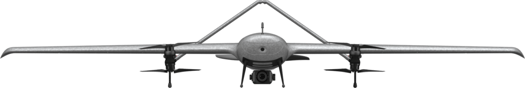
With the fixed-wing VTOL design, XAG M2000 Remote Sensing Drone is developed for high frequency and high demand aerial survey tasks of multiple scenarios, which allows one person to map fields of 533 hectares in an hour¹. Equipped with XAG SuperX 4 Pro Intelligent Control System, the XAG M2000 is capable of accessing quality geographic data, which helps build up digital field maps stably and rapidly to facilitate production decisions.
The quick assembly XAG M2000 can be immediately deployed for
operations. The combination structure of multiple rotors and fixed
wings allows flexible take-off and landing. 3 kg EPP fuselage plus the
high-energy-density battery provide up to 90 minutes flight time and a
range of 86 kilometers in a single flight.
Maximum Battery Life
Maximum Flight Distance
Quick Assembly
Overall Weight
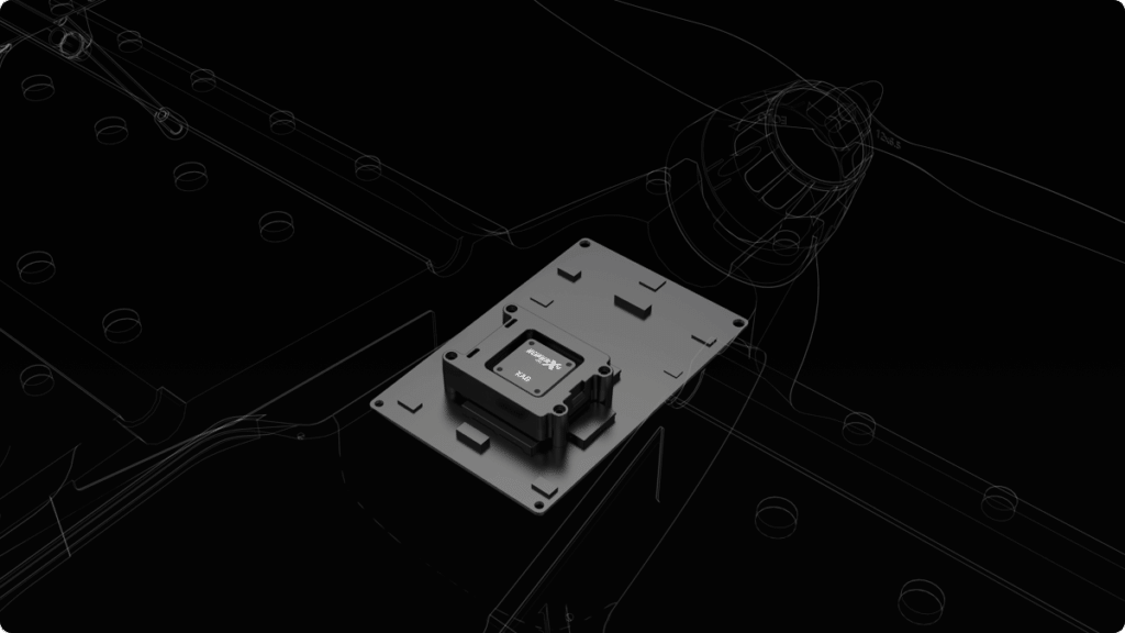
Dual-Antenna RTK + Cloud Base Stations
3 x IMU + Emergency Response Mechanism
Featured with 3-axis mechanical stabilized gimbal and mechanical
shutter max out at 1/2000 sec., all cameras can take photos at high-
speed without rolling shutter effect. Anti-distortion and autofocus lens
contributes to high-resolution imaging.
Field Mapping
At AG Drones East, we’re dedicated to providing the highest quality Precision Ag Drone Aerial Application services, multispectral mapping, agricultural education, supplies, training, repairs, and value-added solutions to farmers and the communities we serve.